The Three Watersheds of Sonoma Mountain.
A watershed is an area of land that catches and drains precipitation to a common body of water such as a river, lake, or ocean. Every place where water collects has its own watershed. No matter where you live, you live in a watershed.
“I think of watersheds as living lifeboats from ridge to river, from summit to sea, from stem to stern.”
Brock Dolman
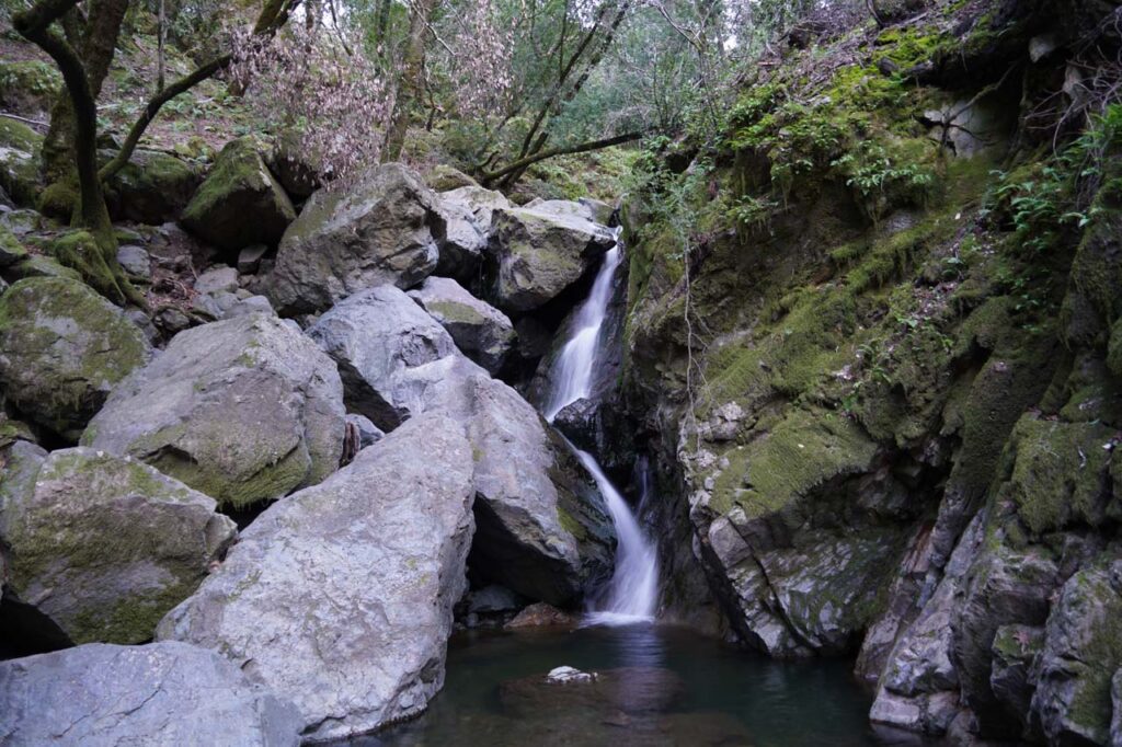
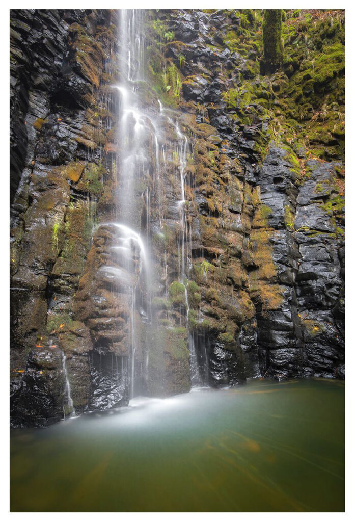
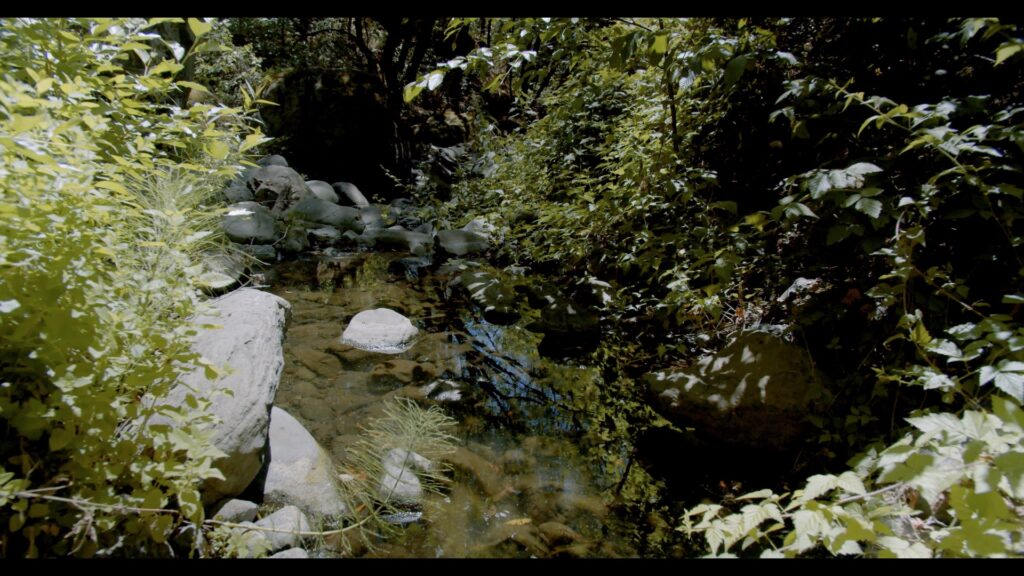
The springs and creeks of Sonoma Mountain feed into three different local watersheds: the Petaluma River, Sonoma Creek, and Laguna de Santa Rosa.
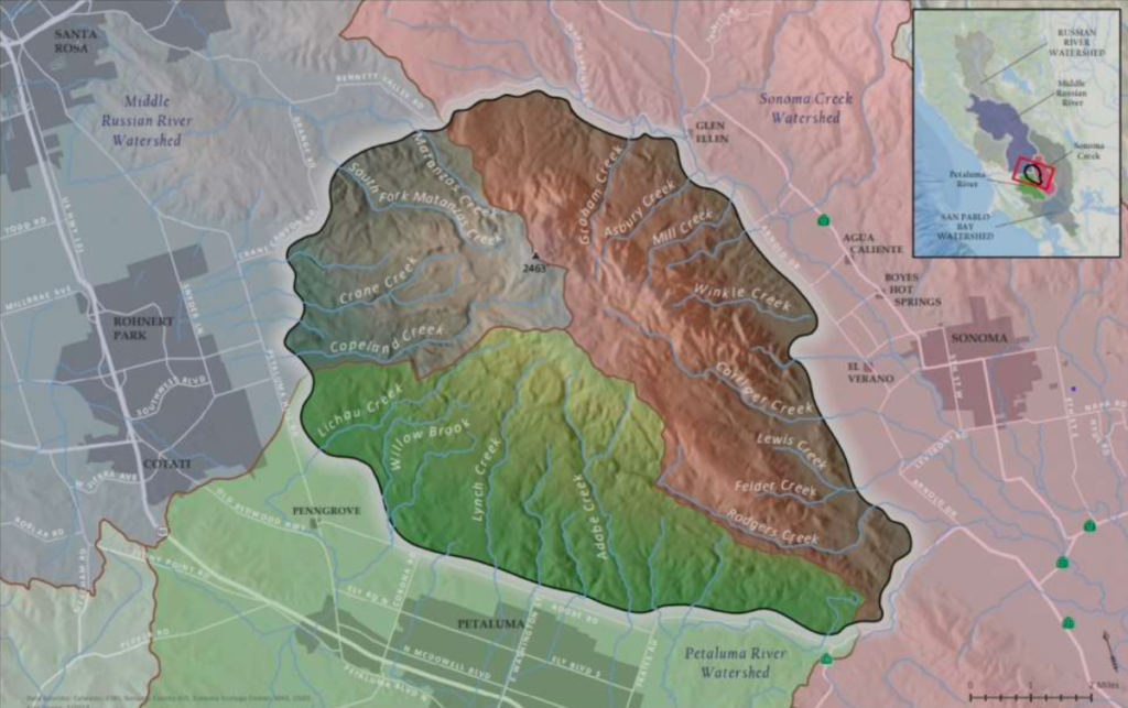
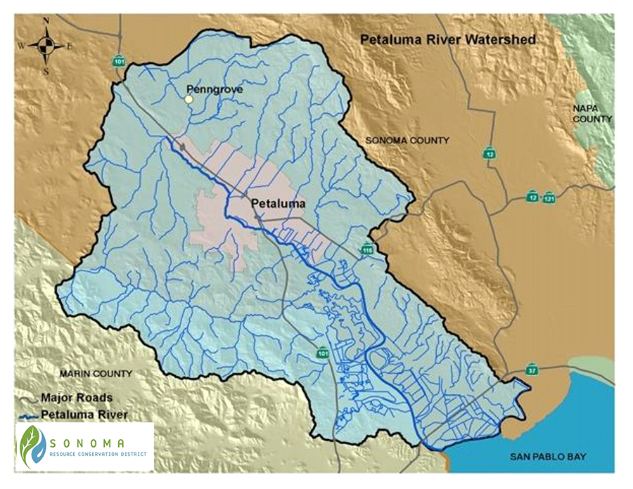
Petaluma River Watershed
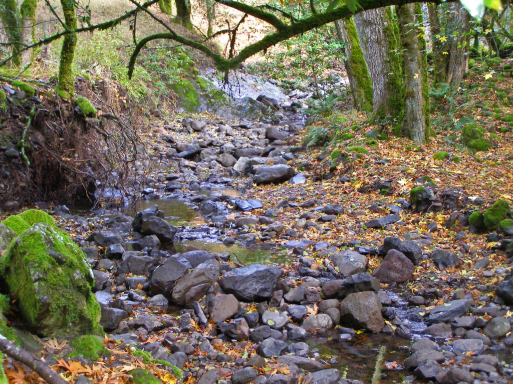
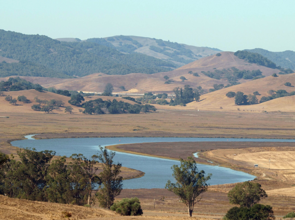
Petaluma River Watershed is the smallest of Sonoma Mountain’s three watersheds. Sonoma Mountain, at 2,295 feet, is the highest point in the watershed, which is located in southern Sonoma County and a portion of northeastern Marin County, with Petaluma at its center.
The headwaters and ephemeral tributaries of Sonoma Mountain’s southwest slopes are the major source of water for the Petaluma River’s 146 square-mile basin, which run approximately 19 miles long and 13 miles wide.
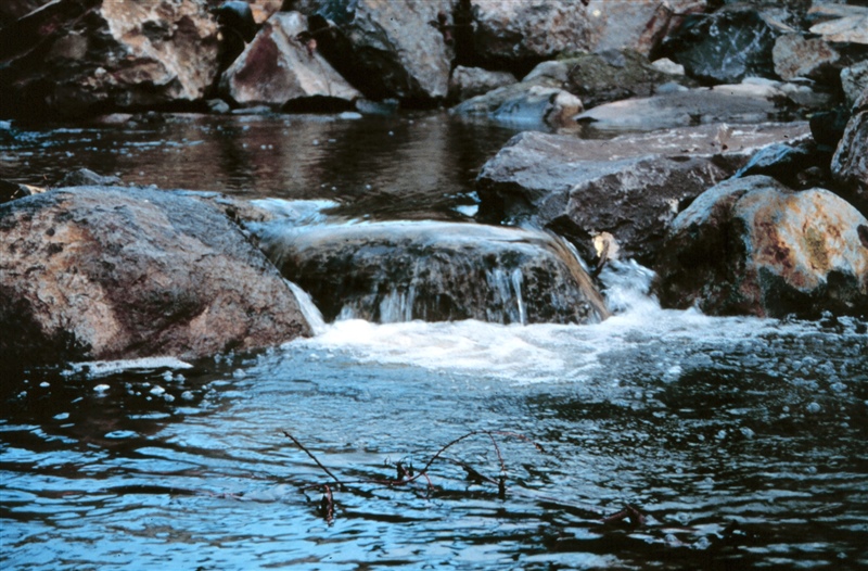
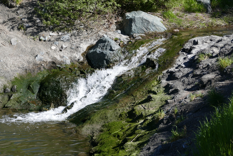
The Petaluma River’s tributaries include Lichau Creek, Lynch Creek, Washington Creek, and Adobe Creek. Adobe Creek’s headwaters at the Lafferty Ranch were once the major source of water for Petaluma.
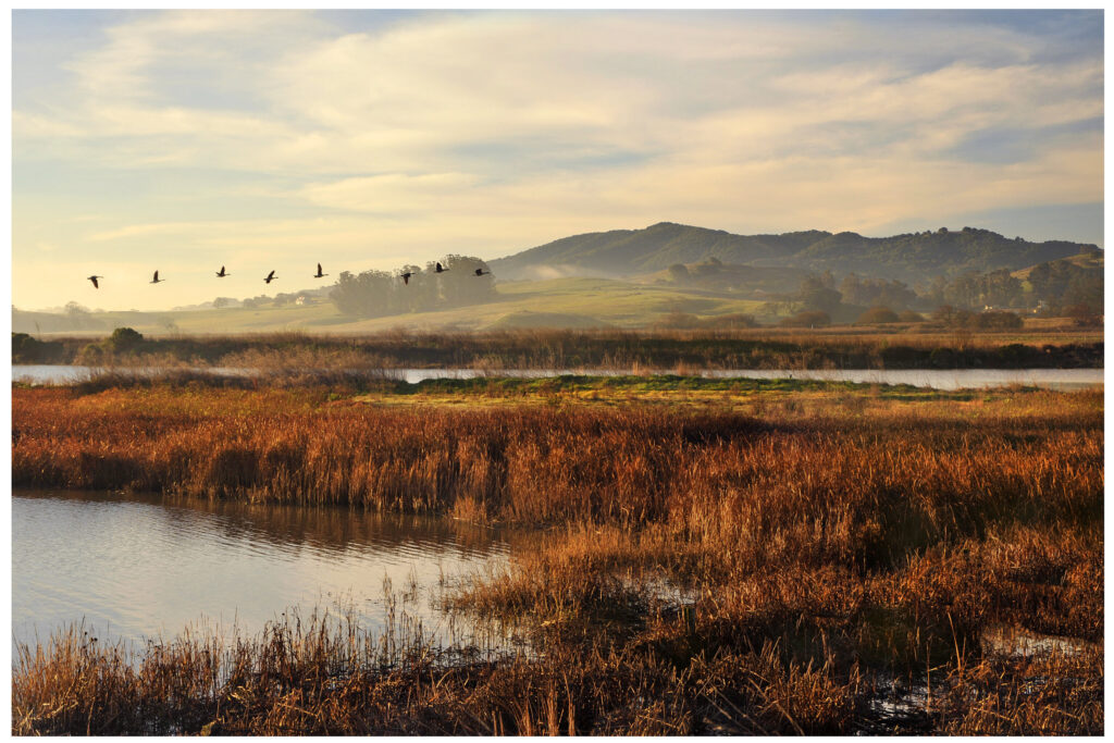
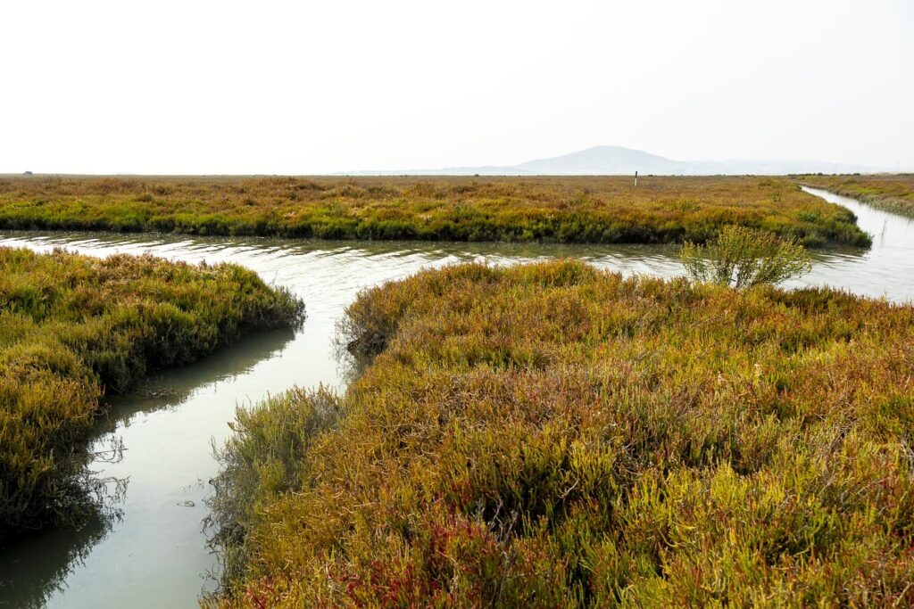
The Petaluma watershed is fifty-six percent mountainous or hilly upland areas, which also includes the southern slopes of Mecham Hill, the eastern slopes of Weigand’s Hill and Mt. Burdell. Thirty-three percent is the valley. The lower 11% of the watershed are salt marshes, which include the lower 12 miles of the Petaluma River and the Petaluma Marsh – the largest remaining salt marsh in San Pablo Bay. The marsh covers 5,000 acres and is surrounded by approximately 7,000 acres of reclaimed wetlands. The Petaluma River watershed empties into the northwest portion of San Pablo Bay.
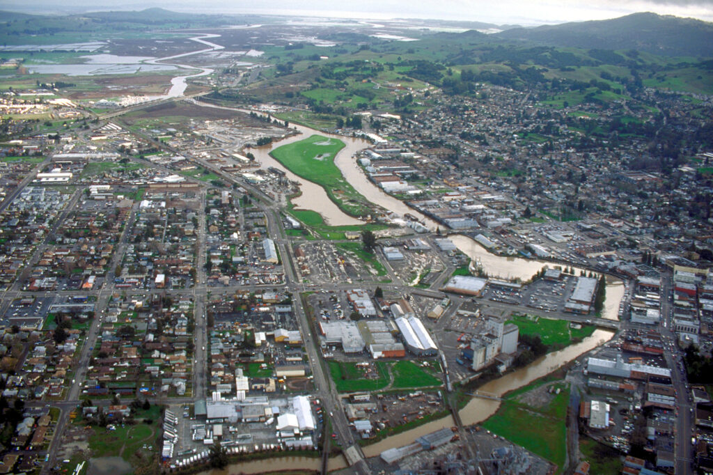
Petaluma River is a slough, and it rises and falls with the tides.
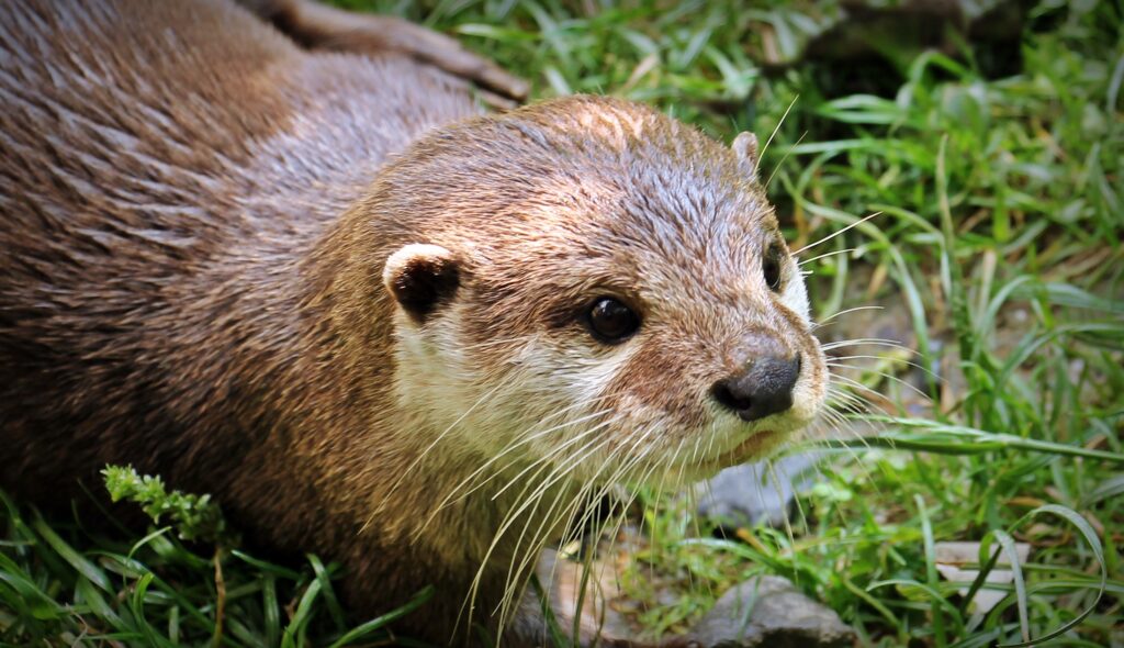
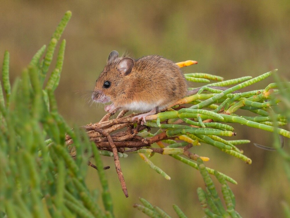
The Petaluma River Watershed hosts several federally endangered fauna and animals including the salt marsh harvest mouse, the North American River Otter, and Ridgway’s Rail.
Wild steelhead spawn and grow-up in the Petaluma River watershed are wild. Chinook salmon are seen in the main stem of the Petaluma River the turning basin, near the Lynch Creek confluence.
The headwaters and tributaries of Petaluma River begin on the steep southwest slopes of Sonoma Mountain. The confluence of Willow Brook, Liberty Creek, and Weigand’s Creek form the headwaters of the Petaluma Watershed just upstream of Rainsville Road and Stony Point Road. The Petaluma River itself flows across the Denman Flat area and through the City of Petaluma. Tidal influence extends upstream of the confluence with Lynch Creek (beyond the railroad crossing).
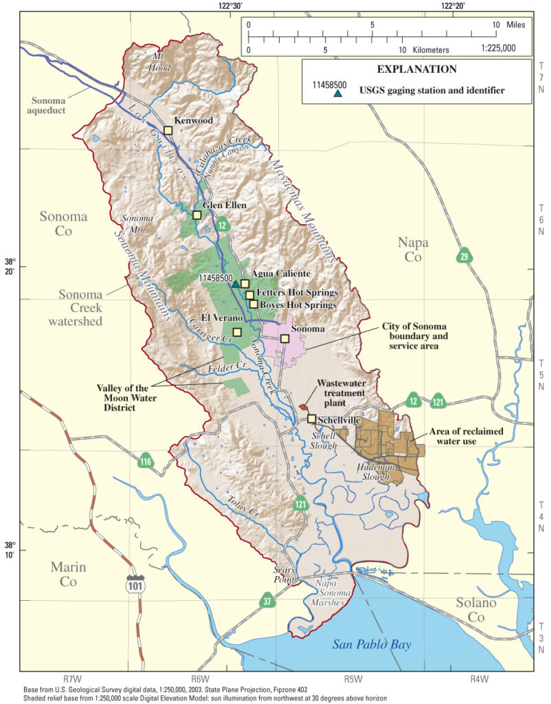
Sonoma Creek Watershed
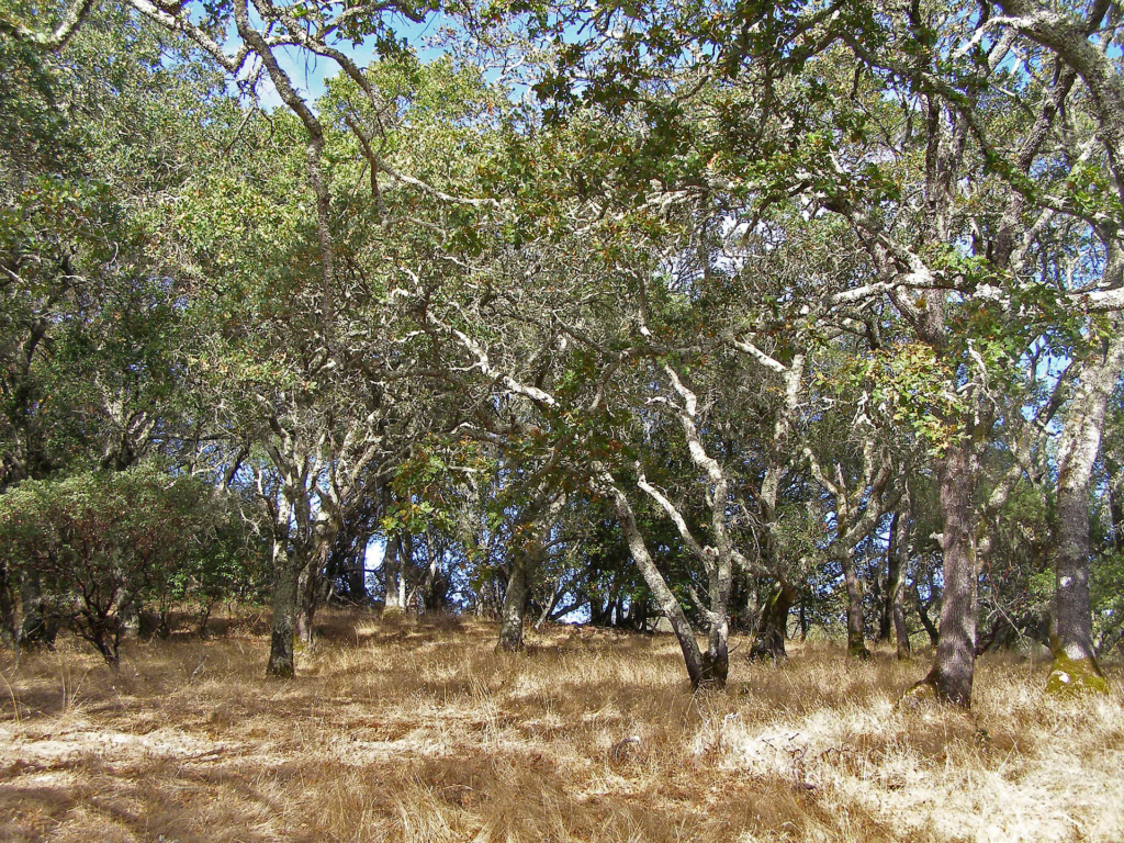
The first trickle of Sonoma Creek begins northeast of Kenwood in the rugged hills of Sugarloaf Ridge State Park. It travels west, then curves to the south, converging with tributaries from the western slopes of the Mayacamas and the eastern slopes of Sonoma Mountain. At the northwestern edge of the watershed are Sonoma Mountain Vernal Pools and Yulupa Creek.
Sonoma Mountain’s principal contributions to Sonoma Creek include Felder Creek, Carriger Creek, Dowdell Creek, Mill Creek, Ashbury Creek, and Graham Creek. Graham Creek runs through the upper regions of Jack London State Park and was historically called Wild Water Creek, a name used in the time of author Jack London. The creek inspired some of his work, including Valley of the Moon.
Tributaries to Sonoma Creek Watershed from the Mayacamas include Calabazas Creek, Bear Creek, and Schell Creek.
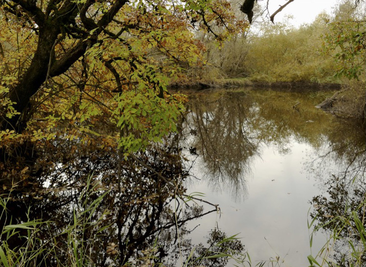
The watershed covers approximately 170 square miles and Sonoma Creek itself flows 33 miles from its headwaters on the west side of the Mayacamas Mountains to the Napa-Sonoma Marsh in north San Pablo Bay. It includes the City of Sonoma, Kenwood, Glen Ellen, Boyes Hot Springs, and Schellville, and harbors a diverse range of habitats from redwood/fir forests to chaparral, oak woodland, and wetlands.
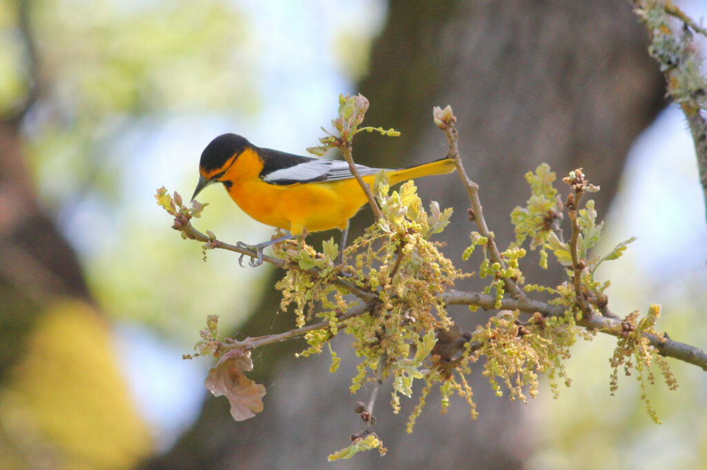
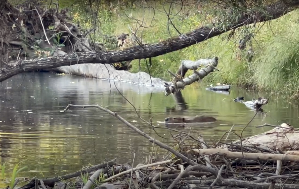
The watershed provides habitat for several native threatened or endangered species of concern, including steelhead trout, Chinook salmon, and California freshwater shrimp. Beavers have also recolonized Sonoma Creek after having been missing for over a century and are currently located in both Sonoma and Glen Ellen. A “keystone species,” the beaver has created habitat that has, in turn, led to the return of the river otter.
Tolay Creek:
The Tolay Creek watershed is generally listed as part of the Sonoma Creek watershed, though it never meets with Sonoma Creek. Technically, it is a small watershed of its own. Located south of Sonoma Mountain, between the Petaluma River and Sonoma Creek Watersheds, the 12-mile-long creek originates near Stage Gulch Road, feeds Tolay Lake, then flows south to eventually empty into the Napa-Sonoma Marsh.
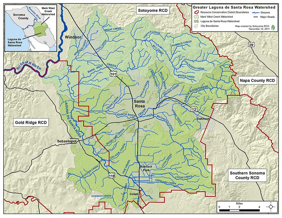
Laguna de Santa Rosa Watershed
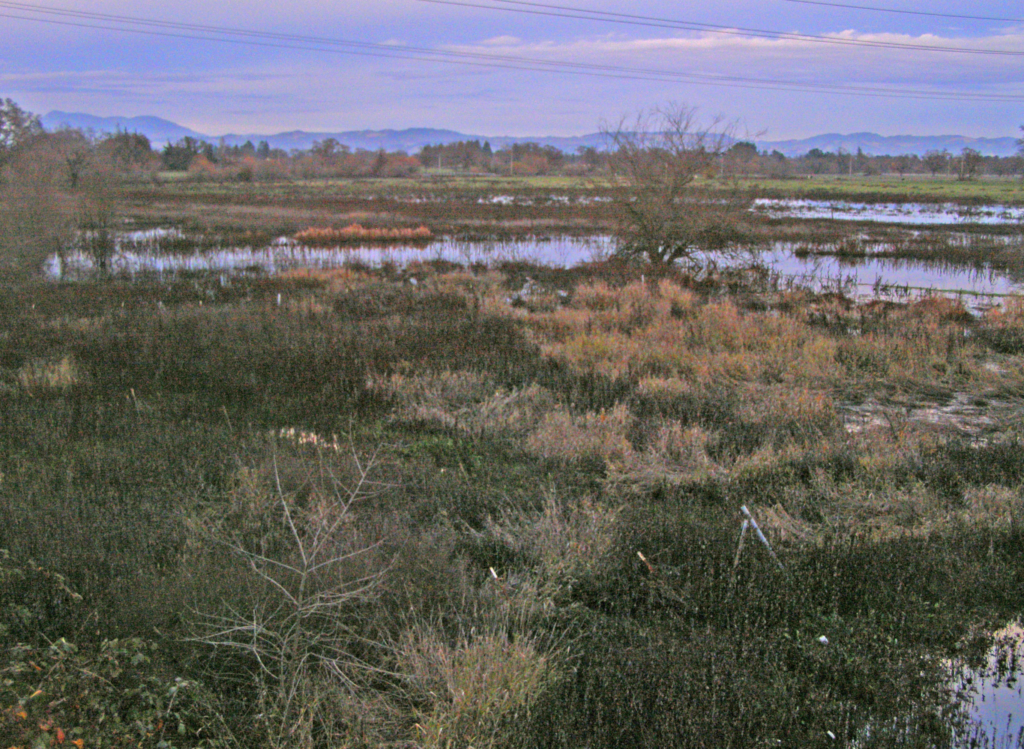
The Laguna de Santa Rosa watershed is the largest of Sonoma Mountain’s three watersheds. The 254-square-mile basin encompasses most of the Santa Rosa Plain and drains into the Laguna de Santa Rosa, a 22-mile wetland complex that extends from Cotati to the Russian River at Forestville. Sonoma Mountain’s major tributaries include Copeland Creek, which springs from Fairfield Osborn Preserve; Crane Creek, which begins east of Crane Creek Regional Park; and Matanzas Creek, its headwaters flowing through North Sonoma Mountain Regional Park. Other major tributaries to the laguna include Mark West Creek, Blucher Creek, Windsor Creek, and Santa Rosa Creek.
Though the watershed makes up only 16% of Sonoma County’s land mass, it is home to over half the county’s population, containing all or part of Windsor, Santa Rosa, Rohnert Park, Cotati, Sebastopol, and Forestville.
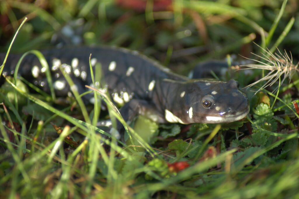
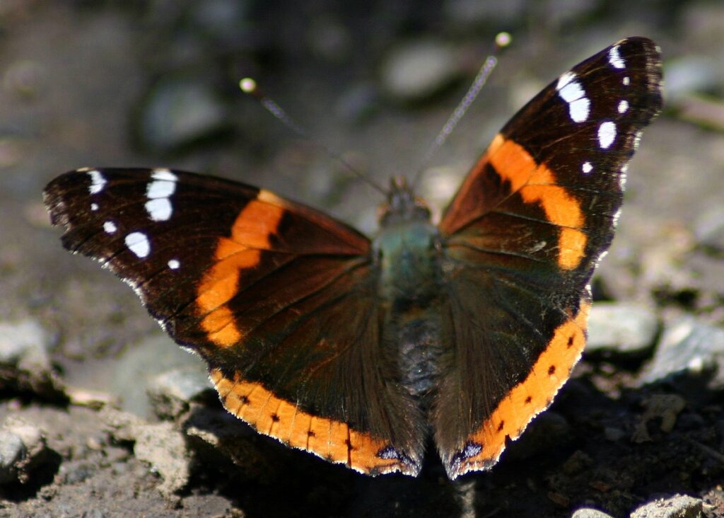
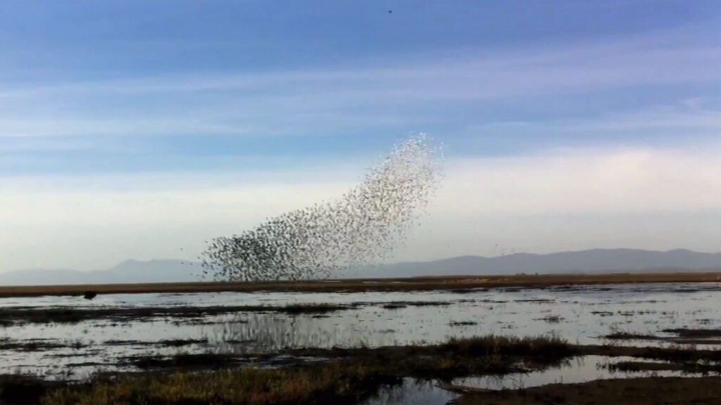
The Laguna de Santa Rosa is an ecological system covering more than 30,000 acres and comprised of a mosaic of creeks, open water, perennial marshes, seasonal wetlands, riparian forests, oak woodlands, and grasslands. It lies on the Pacific Flyway, an important global bird migration route, and is home to a wide variety of life: more than 200 species of birds, endangered salmon, steelhead, mountain lion, bobcat, coyote, mink, badger, and river otter. It includes rare vernal pool areas and critical habitat designated for the endangered California Tiger Salamander.
The Laguna de Santa Rosa also serves as a holding basin during our wet season and as an overflow area when the Russian River floods. It is the largest tributary to the Russian River, which originates near Willits in Mendocino County and runs 115 miles to the Pacific Ocean at Jenner.