Sonoma Mountain – The Book!
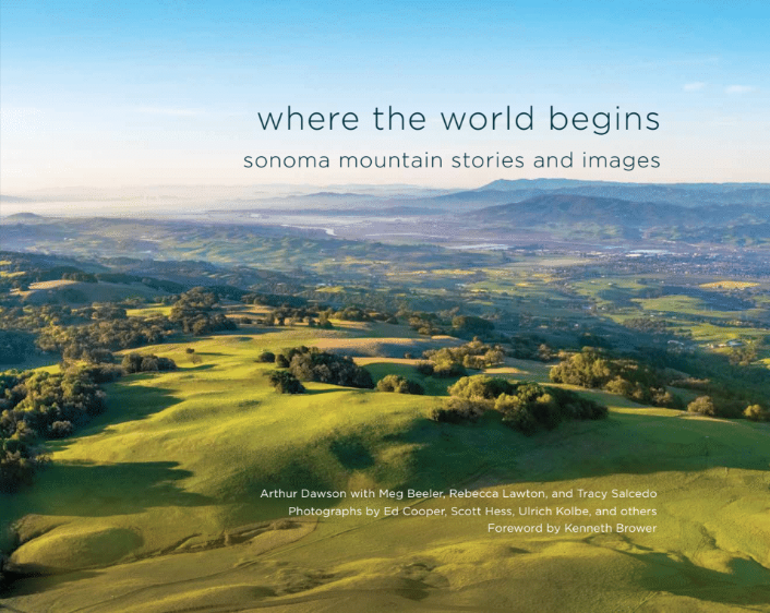
Where the World Begins: Sonoma Mountain Stories and Images draws you into our inspiring natural treasure at the heart of southern Sonoma County. Local Bestseller, IPPY Award 2020. Two purchasing choices below:

Where the World Begins: Sonoma Mountain Stories and Images draws you into our inspiring natural treasure at the heart of southern Sonoma County. Local Bestseller, IPPY Award 2020. Two purchasing choices below:

